Provo Canyon - South Fork
Northern Utah - Utah County
Technical single track featuring Shingle Mill Trail and access to Cascade Mountain summit views. A hidden gem offering challenging rocky terrain and stunning Utah County overlooks.
Trail Overview
The Technical Playground Above Utah Valley
Provo Canyon’s South Fork area is where local riders go when they want rocky, technical single track without the crowds of American Fork Canyon. The Shingle Mill Trail system offers everything from flowing aspen groves to brutal rock gardens that’ll have you questioning your suspension setup.
Why South Fork Stands Out
While everyone’s fighting for parking at Tibble Fork, South Fork riders are enjoying legitimate single track with half the traffic. The trail system here is more condensed than AFC but offers similar technical challenges with the bonus of easier access from Utah Valley.
Trail System Breakdown
Shingle Mill Trail (Intermediate to Advanced)
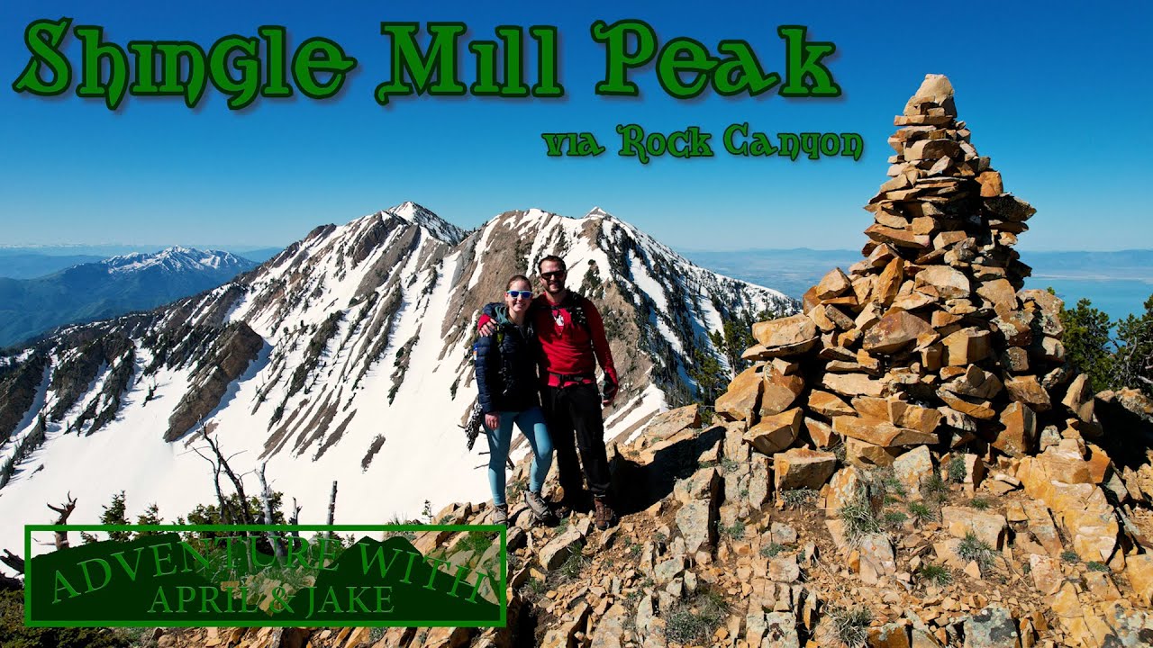
The backbone of the system, Shingle Mill starts mellow enough through meadows and aspens before turning into a rock-fest that’ll test your clutch hand. The trail gains 2,500 feet over 8 miles, with the upper sections featuring natural rock gardens that get progressively more challenging. The summit views of Utah Lake and Mount Timpanogos make the climb worthwhile.
South Fork Trail (Advanced)
This is where things get serious. Starting from the canyon bottom, South Fork Trail climbs relentlessly through technical switchbacks and off-camber rock sections. The infamous “Stairway to Heaven” section at mile 4 has sent many riders back down to reconsider their line choice. Proper suspension setup is mandatory.
Cascade Mountain Summit Route (Expert)
For those seeking consequences, the push to Cascade Mountain’s 10,908-foot summit delivers. The final mile is hike-a-bike for most mortals, but the 360-degree views from the top are unmatched. On clear days, you can see from the Salt Lake Valley to Mount Nebo. Just remember: what goes up must come down, and the descent is even more technical.
Access & Staging
Primary Access Points:
- South Fork Park: Main staging area
- Pros: Easy access, good parking, no fees
- Cons: Can fill up on weekends
- Coordinates: 40.3456, -111.5789
- Vivian Park: Alternative northern access
- Pros: Facilities, connects to lower trails
- Cons: Heavy hiker/biker traffic
- Coordinates: 40.3612, -111.5654
- Rock Canyon: Technical backdoor entry
- Pros: Avoid canyon traffic, challenging approach
- Cons: Requires local knowledge, very technical
- Coordinates: 40.2673, -111.6234
Technical Sections to Know
The Waterfall (Mile 3.5): Series of ledges with water running through - pick your line carefully
Rock Garden Alley (Mile 5-6): Quarter-mile of babyheads and boulders - standing up mandatory
The Chute (Mile 7): Steep, loose descent between rock walls - commit or eat it
Summit Push (Mile 8+): Often becomes hike-a-bike, but views justify the effort
Local Knowledge
Best Riding Times:
- Early morning to avoid afternoon storms
- Weekdays for solitude
- Fall colors peak late September
- Spring riding starts earlier than AFC due to lower elevation
Trail Conditions:
- Rocky sections get polished by late summer
- Spring runoff can make water crossings sketchy
- Trail maintenance by Bonneville Motorcycle Club
- Check BMCU Facebook for current conditions
What You Need:
- Proper suspension setup (this isn’t smooth trail)
- Spare clutch/brake levers (rocks happen)
- Extra water (no sources above South Fork Park)
- Patience (technical sections require multiple attempts)
Connecting Routes
The ambitious can link South Fork with:
- Squaw Peak Trail: Technical descent to Rock Canyon
- Y Mountain: Iconic Provo landmark (hike-a-bike sections)
- Hobble Creek: Via ridge traverse (expert navigation required)
Safety Considerations
- Cell Coverage: Spotty above 7,000 feet
- Weather: Afternoon storms build fast against Cascade Mountain
- Wildlife: Black bears occasionally spotted, rattlesnakes common below 6,500 feet
- Evacuation: Life Flight has landed at South Fork Park
- Water: Last reliable source at South Fork Park
The Local’s Verdict
South Fork isn’t trying to be American Fork Canyon, and that’s exactly why locals love it. It’s technical enough to keep you honest, accessible enough for after-work rides, and challenging enough that you’ll sleep well afterward. The lack of destination traffic means you’re riding with people who actually want to be there.
Pro tip: Start with Shingle Mill to warm up before attempting South Fork Trail. And when locals tell you about the “easy way” around a technical section, they’re probably lying. There is no easy way - embrace the challenge or stick to the fire roads. EOF < /dev/null
Quick Facts
- Difficulty
- Intermediate to Advanced
- Trail Length
- 35+ miles of single track
- Elevation
- 5,500 - 9,000 feet
- Best Season
- June through October
Access Information
Primary access from South Fork Park or Vivian Park. South Fork road can be rough after storms. Rock Canyon and Squaw Peak trails connect from Provo side. No day use fees required.
Get Directions to TrailheadTrailhead Location
Safety & Riding Tips
- Trail becomes extremely technical above 7,500 feet
- Rock gardens require proper suspension setup
- Water crossings can be deep during spring runoff
- Afternoon thunderstorms common in summer
- Rattlesnakes active at lower elevations
- Popular with hikers near Vivian Park - ride respectfully